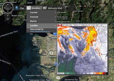
I’m writing on mapping applications right now and came across this impressive example from Port Metro Vancouver. It uses Microsoft’s Silverlight and Virtual Earth. The bit you want is the interactive map on the home page. Wait for it to load, then click the uncaptioned button (to the right of Webcams Wall) for full screen mode, and try some of the menu options.

There is more about the app in this blog entry on the Virtual Earth for Public Sector blog.